Álvaro Valiño
1 / 11

España en Estados Unidos
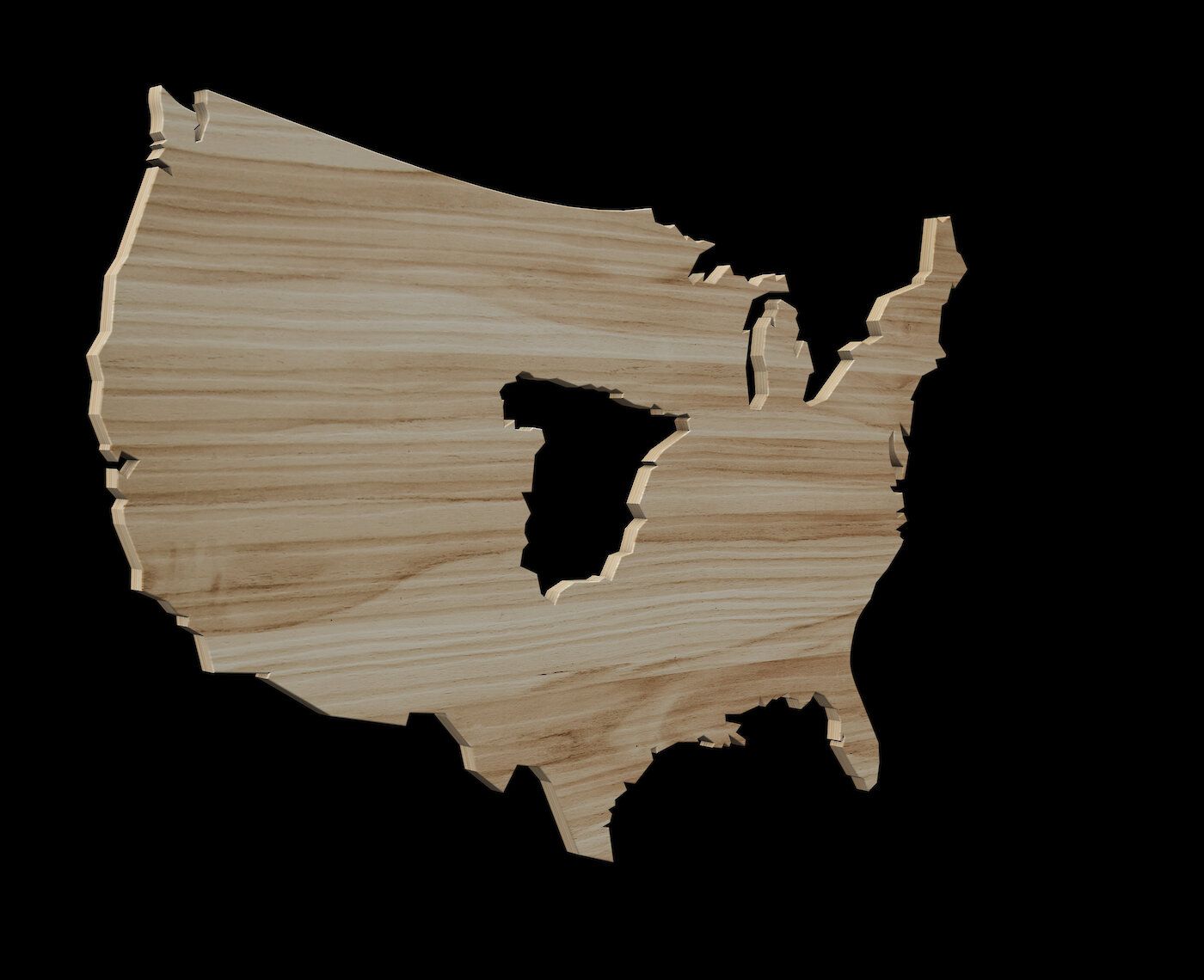
This map puts Spain and the United States in a physical context. For those familiar with Spain, it provides an idea of the size of the continental United States, and vice versa, allowing them to see the dimensions of Spain from an American perspective.
It leverages one of the most powerful tools of infographics: sharing knowledge through comparison. By using a known object, person, or concept as a baseline, it helps measure and understand another.
The image is obtained by subtracting the peninsular territory of Spain from that of the 48 contiguous states of the United States, both territories centered, and using an equivalent area representation such as the Albers Equal projection. It also serves as an artistic element and almost as a literal depiction of “Spain in the United States,” placed in the center.